Charging Without a Dynamo: Finding Power on Route
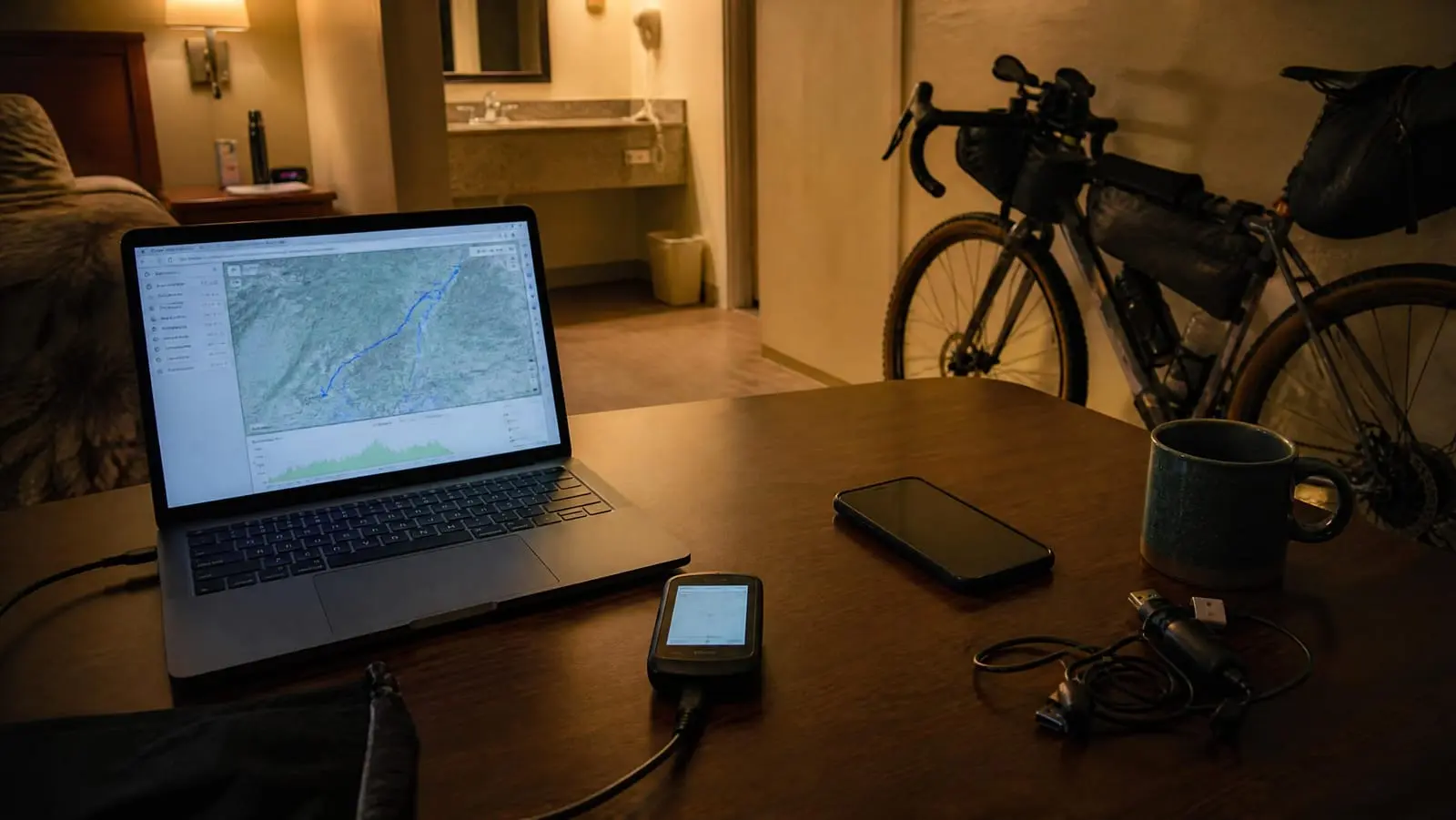
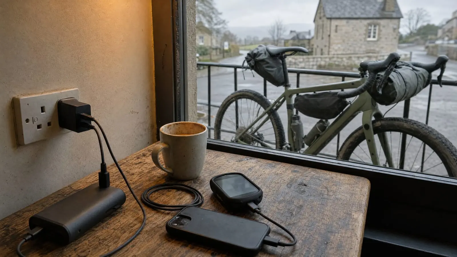
On most routes the sockets already exist: cafes, libraries, laundromats, shower blocks. Here is where to find them, how to behave at one, and how to turn a 40-minute stop into real watt-hours.
12 articles
On most routes the sockets already exist: cafes, libraries, laundromats, shower blocks. Here is where to find them, how to behave at one, and how to turn a 40-minute stop into real watt-hours.
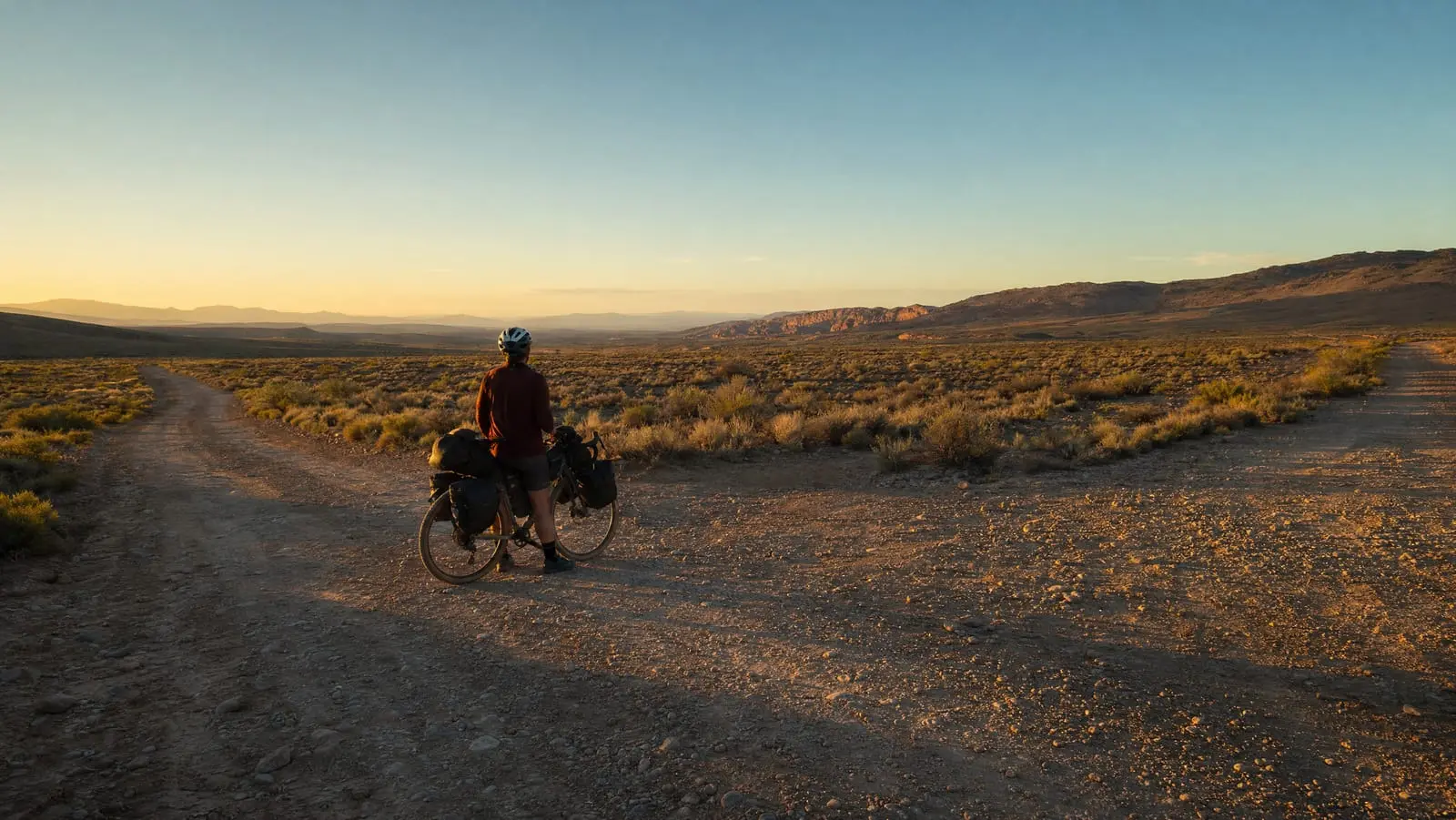
Nobody gets lost all at once. Here is the procedure for the ninety seconds after the plan and the ground disagree, the dead-device protocol, and the bail-out planning that makes both cheap.
A routing app will happily draw a line down something that stopped being a road in 1994. Surface tags are crowd-contributed claims, not observations — here is the ninety-second check that catches the bad segment.
A route line only answers which way to go. Waypoints answer whether you can drink, eat, sleep or bail out. Here is how to mark all four in your GPX and name them so they still work at 4 p.m.
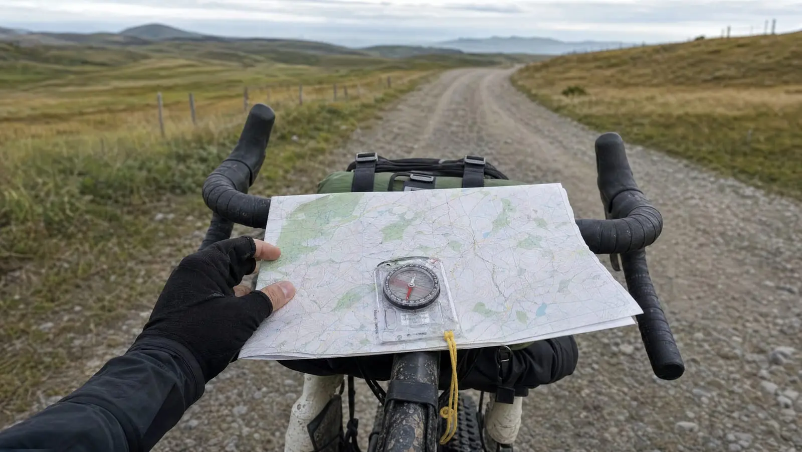
A bikepacker's analog backup is not a hiker's. Here is the map scale to print at, the compass worth carrying, and the thirty minutes of practice that turn both from ballast into a tool.
Two 60-mile days can differ by six hours in the saddle. Here is how to budget a bikepacking day in moving hours, surface-adjusted speed and a stoppage factor instead of miles.
Offline maps are three separate downloads stacked on top of each other: the tiles, the routing data, and your route file. Getting one and assuming you have all three is how riders end up stuck at a closed road.
Garmin still accepts a GPX dropped into a folder over USB. Wahoo and Coros push everything through a phone app and the cloud. Here is each brand's documented path, and which ones work from a motel.
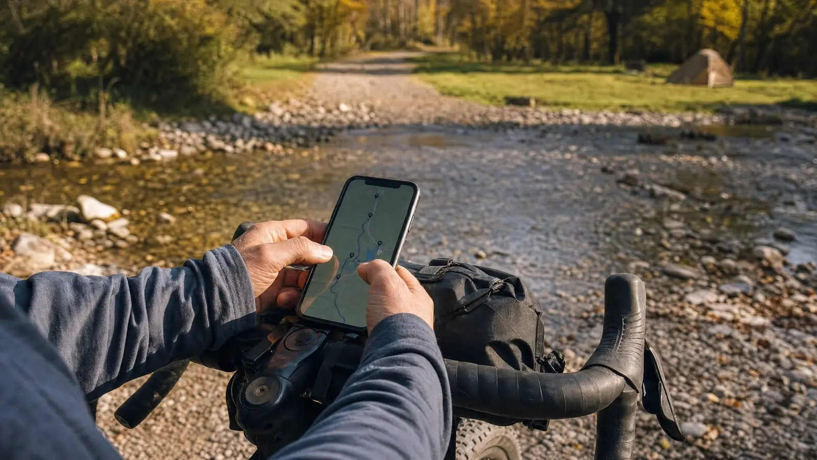
Your phone is a legitimate primary navigation device for a bikepacking trip once you solve vibration, water and battery. Here is how the four mount families differ, and the six mounts we would buy.
All five of these apps will draw you a line and follow it, so a feature table is useless. Here is which one fails in a way you can live with, and the plan-in-one-navigate-in-another pairing most riders end up running.
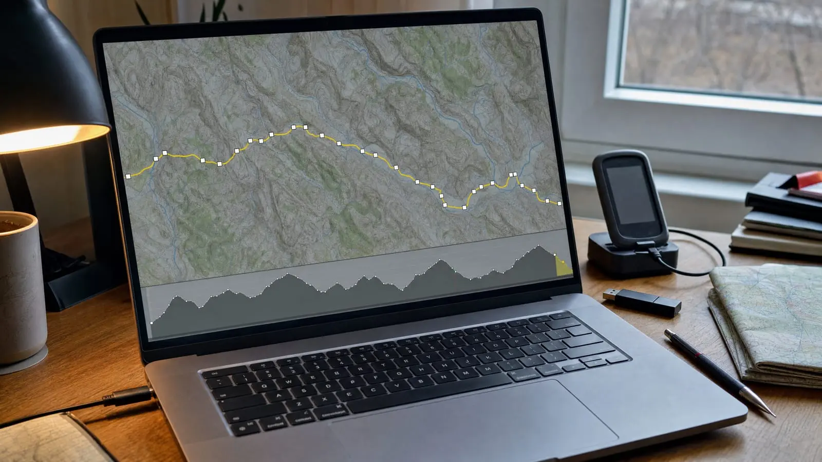
A router will happily draw a line down something you cannot ride. Here is the seven-stage workflow for planning a bikepacking route, verifying it, and getting it onto a device you can follow.
A GPX is a plain text file you can open and read. Here is how to make one, split it into day-sized files, merge and reverse segments, and clean up a route a stranger drew.