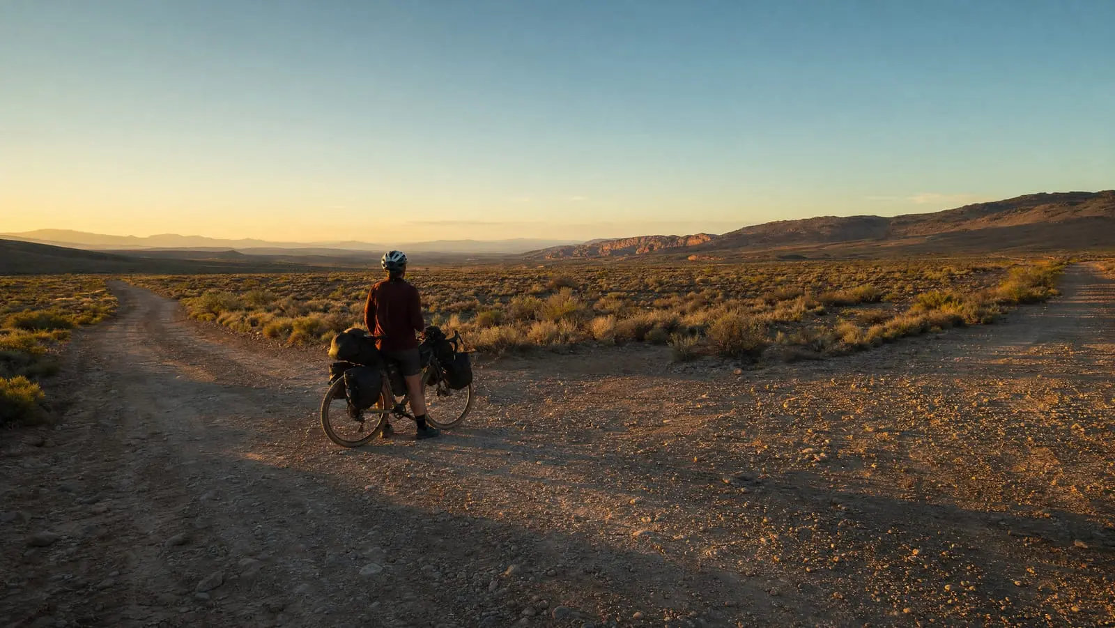
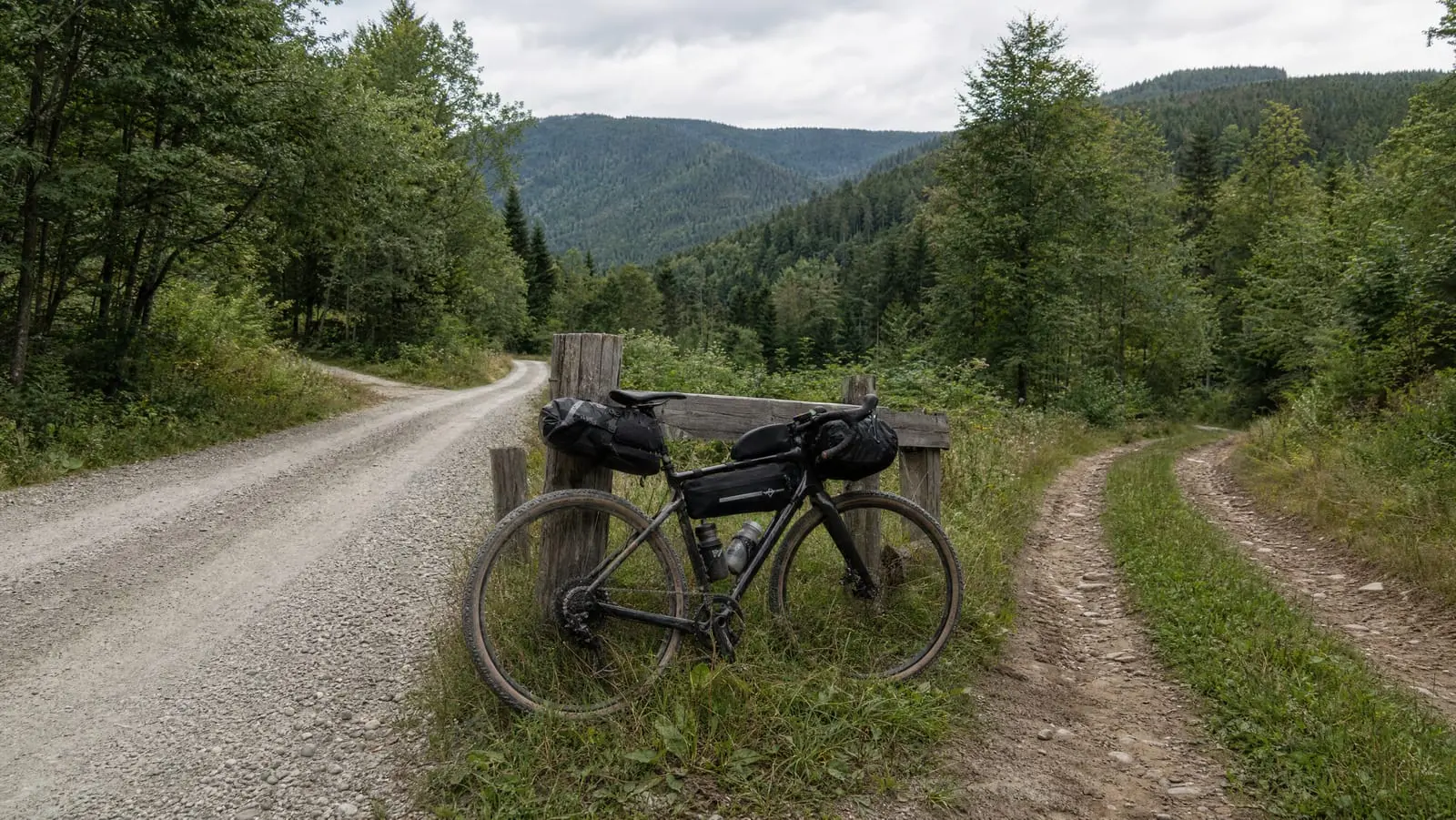
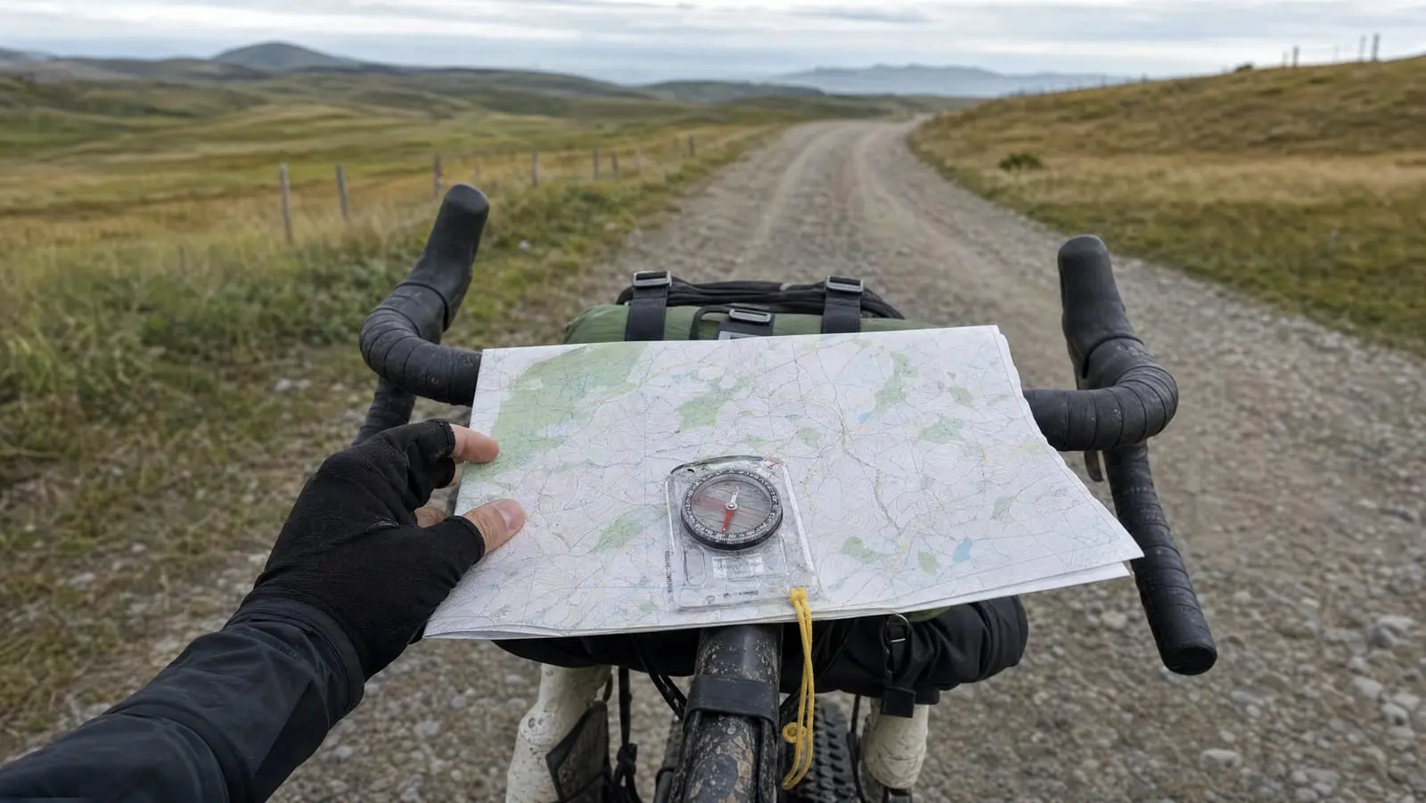
Mapping Water, Resupply and Camp Spots onto Your Route
20+ years testing gear in Colorado backcountry
Which Waypoints to Add: Water Sources, Resupply, Camp and Bail-Outs
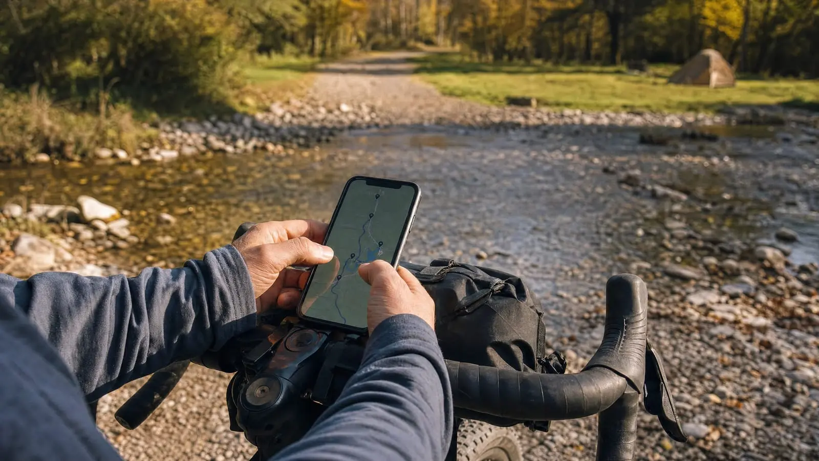
Mark four kinds of waypoint in your route file before you leave home: water, resupply, camp and bail-outs. Bikepacking waypoints for water sources are the highest-stakes of the four, because water is the thing you cannot carry enough of and cannot improvise. Do it at the kitchen table, where you still have internet and patience.
The line on your map answers one question: which way. It says nothing about whether you can drink, eat, sleep or quit — and those are the four questions that decide how a bikepacking day ends.
So waypointing is not data entry. It is pre-making decisions while you are rested, warm and online, so the tired version of you at 4 p.m. only has to read, not research. It is the step in bikepacking route planning that turns a file which navigates into a file that keeps you fed.
The Four Things Worth Marking
Viewpoints, cool bridges and the bakery someone mentioned are decoration. Place these four first — they are the ones that change what you do next.
| Class | What to mark | How many | Failure mode if you skip it |
|---|---|---|---|
| Water | Springs, taps, spigots, streams, stores | Every plausible source | You ration, then gamble on an unknown source |
| Resupply | Groceries, gas stations, cafes, with hours | Every one in the corridor | You arrive at a closed door, ride tomorrow hungry |
| Camp | Established sites, dispersed areas, flat ground | Two or three per night, over 20-30 miles | You search for a site in the dark, the slowest search there is |
| Bail-out | Junctions to pavement, ranger stations, trailheads | One or two per riding day | A mechanical or a storm becomes an epic, not a shrug |
Water: mark the reliability, not just the location
Water is where the map lies most confidently. A blue line is a cartographic convention, not a promise: the USGS Water Science Glossary defines a stream as a "natural water course containing water at least part of the year". At least part of the year is doing enormous work there, and the part you are riding may not be it.
Springs tend to behave better because they are a different thing — groundwater surfacing where the ground "intersects a flowing body of groundwater at or below the local water table", in the same glossary's words, rather than runoff that has already gone. Mark a spring and a seasonal creek differently even when they sit a mile apart.
So mark generously, and mark confidence rather than only coordinates. Every plausible source goes in — taps in cemeteries, campgrounds, town parks, gas stations — and we flag the ones we would plan a day around. The failure mode is not finding a marked source dry. It is having only one, finding it dry, and having no second option in the file. What to do with the water once you find it is a water filtration question.
Resupply: the opening hours are the data
The location of a rural grocery store is easy to find and nearly useless on its own. The useful fact is when the door is unlocked, and rural hours are short, idiosyncratic and seasonal.
So look them up while planning and put the closing time in the name as a number — not "check hours." A store is only a resupply if your realistic arrival lands inside its hours, which means the waypoint and the day plan have to be checked against each other.
Mark more than the one you intend to use: gas stations keep longer hours than groceries, and cafes exist where groceries do not. Which stops you lean on is the subject of our resupply guide. The waypoint's job is narrower — to tell you, without opening a menu, whether it is worth pushing for this one. Skip the hours and the failure is always the same: 55 miles planned around a store at mile 40, a slow day, arrival at 6:10 p.m., and the door locked since six.
Camp spots: mark three, not one
A camp waypoint is a hypothesis, and single-hypothesis plans fail. You will not land where you planned — headwind, mechanical, a climb worse than its profile — so mark options at roughly 70, 100 and 120 percent of the distance you expect.
Three kinds are worth marking: established sites, dispersed areas where camping away from a site is legal, and "probably fine" ground you found on satellite imagery. Mark which is which — a picnic table and a flat spot behind a berm are different arrivals.
Dispersed-camping rules are what people get wrong, because they are local rather than national. The Forest Service's Intermountain Region guidance says plainly that "rules listed below may vary by forest, some additional restrictions may apply and your stay maybe day limited", with campsites "at least 200 feet from any stream or other water source." Check the forest, district or agency that manages the ground you are marking — a waypoint does not know which jurisdiction it landed in. Using the site is a stealth camping question.
Bail-outs and shelter: the class that turns a bad day into an inconvenience
Most riders skip this class, and it earns its keep on the worst day of the trip. A bail-out is any point where you can stop being committed: a junction where pavement leads to a town, a ranger station, a trailhead with a parking lot and therefore car traffic.
Mark at least one per riding day, with the distance to whatever it leads to. B-d3-junction-to-town-11mi tells you in one glance whether bailing is a two-hour decision or a five-hour one — the number you want when the weather turns, and the number you will not go looking for.
Bail-outs are what make an unplanned detour recoverable rather than serious; off-route recovery covers the mechanics. When the nearest one is not reachable under your own power, emergency communication with no cell signal stops being an abstraction.
The line answers "which way." Waypoints answer "can I stop, can I drink, can I eat, can I sleep" — and those are the questions that decide how the day ends.
Where the Waypoint Data Actually Comes From
Four sources, four reliability profiles. Knowing which one a dot came from is most of the skill.
Official agency data — forest and park services, state park systems, municipal parks departments. The best source for established campgrounds and developed water, and the only one authoritative about legality. Also incomplete: agencies document their own facilities, not the tap behind the volunteer fire department.
Crowd-sourced databases — the camping and water apps riders, hikers and overlanders contribute to. This is where dispersed sites and unofficial water come from, and there is no substitute for it. Crowd-sourced water and camp data is the most useful and least reliable data in bikepacking. An entry is one person's report from one day, and nothing makes it age honestly. Cross-check anything your day depends on, and carry margin anyway.
Satellite imagery — for confirming a structure, clearing or pull-off exists, and reading whether ground is flat, treed or exposed. Excellent at geometry, silent about permission, season and whether the building is abandoned.
Mainstream mapping search — the fastest route to opening hours and whether a business still trades. Those listings come from owners and user edits and go stale, especially out of season. For a stop your day depends on, the phone number is worth more than the hours.
Use agency data for what is legal, crowd-sourced for what exists, imagery for what it looks like. The data that is easiest to collect is the data most often wrong.
Getting the Waypoints into the GPX File
GPX is an open XML format published by Topografix, and its schema is worth five minutes because it explains why waypoints and routes behave differently on a device.
In the GPX 1.1 schema documentation, a wpt "represents a waypoint, point of interest, or named feature on a map," while a trk is "a track - an ordered list of points describing a path." The consequence confuses everyone: a waypoint is a standalone object that happens to sit near your line, not a part of the line. It does not know what mile of your ride it falls at.
Some platforms also let you attach a point to a position along the course itself, which is what lets a device count down the distance and prompt you on approach. Two different objects, confusingly similar names, and on most head units only the second one alerts you.
The vocabulary makes it worse. Garmin's Edge 840 manual defines a course as "a sequence of waypoints or locations that leads you to your final destination" — a different use of "waypoint" than the schema's — and on that unit the alerting you can switch on sits among the course options. That manual's course options include Off Course Warnings, which "alerts you if you stray from the course" — about the course, not your water points. Randonneurs USA, in its guidance for the Ride with GPS route files behind its permanents, is blunter: "Placing a POI does not create a cue entry! POIs have no influence on the route track or cues!"
Three ways in, mechanically. Drop points by hand in a planning app, fine for a weekend and tedious for two weeks. Import a batch, since most planners read a GPX containing waypoints. Or edit the file directly, the only sane way to fix names in bulk, covered in how to build a GPX route. Then get it onto the head unit, which has its own failure modes — see loading a route onto a Garmin, Wahoo or Coros.
Naming Waypoints So They Work at 4 p.m.
This is the part nobody writes about, and it decides whether the rest of the work pays off. Your device shows a short, truncated name in a small font, in a list, possibly in the rain. The name has to answer the question on its own, because a waypoint's notes are three menu levels deep and you will not go there. Use four parts: a type prefix, the day, the thing, and the one fact that decides the stop.
W-d2-spring-reliable— water, day two, a spring, and we believe it.W-d2-creek-seasonal— same day, same class, explicitly not to be relied on.R-d2-store-closes6— resupply, day two, a store, shuts at six.C-d2-dispersed-flat— camp, day two, dispersed, flat ground.B-d2-road-to-town-8mi— bail-out, day two, a road, eight miles to town.
Each part earns its place. The single-letter prefix survives truncation and groups the list, so if your device sorts alphabetically, every water point sits together. The day number makes a long list navigable — you never want all the water, only today's. The noun tells you what you are walking up to, which decides whether you unclip. The last element is the decision, which is why it has to be the fact and not the category: closes6 is a decision, check-hours is a chore.
Two rules we would not bend. Put the decision-critical fact in the name and nowhere else, because a fact in a notes field is a fact you do not have. And write it as a number where one exists — 8mi, closes6, 200ft-off-road — because numbers survive being read badly.
What the Waypoints Still Will Not Tell You
A waypoint says nothing about the ground between it and the last one, and that ground decides whether you get there before dark. Two water sources 30 miles apart are a comfortable morning on hardpack and a committing stretch on loose doubletrack, so settle the surface before the spacing — finding real gravel covers reading what is under the tyres.
Nor do waypoints carry their own map. Download the whole corridor rather than the line, so a bail-out 11 miles off route still has tiles under it — see offline maps with no signal.
The Pre-Trip Test
Fifteen minutes at home catches nearly everything. Load the finished file onto the device you are actually taking and put it in airplane mode, so it cannot quietly pull anything from your phone. Scroll to day two and answer three questions at arm's length: where is the next water, when does the day-two resupply close, and where do I go if I stop.
If you cannot answer those in ten seconds at the kitchen table, you will not answer them on a roadside in wet gloves. That is a naming problem, and you found it while it is still free to fix.
Waypoints Are Decisions You Already Made
A route file without waypoints tells you where to go and nothing about whether the day is survivable. Four classes of point — water with its reliability, resupply with its hours, two or three camp options, a bail-out per day — turn an hour at a desk into a dozen decisions you will not make while tired.
The test of a good waypoint is not accuracy. It is that reading it changes what you do. Waypoint 47 fails. R-d2-store-closes6 has already told you whether to take the long lunch.
For the rest of the workflow this sits inside — drawing the line, checking the surface, sizing the days, loading the file — see our complete guide to planning a bikepacking route.