When Navigation Fails: Off-Route Recovery and the Dead-Device Protocol
20+ years testing gear in Colorado backcountry
What to Do When You Get Lost Bikepacking
Stop the moment you doubt the line, not at the next junction. Mark the spot, so whatever you try next is recoverable. Then work back to the last place you positively identified on the ground instead of improvising forward. That is what to do when you get lost bikepacking, and the hard part is the first word.
Because nobody gets lost all at once. You get lost in stages, and the cheap one is the first — the quiet "huh, that junction should have been a mile back" that riders reliably ride straight through, because stopping feels like admitting something and the next junction might sort it out. By the third doubt you are not solving a navigation problem any more. You are solving a daylight problem, which has fewer answers.
The rest of our guide to bikepacking route planning covers drawing the line and proving it. This is the ten minutes when the line and the ground disagree, in the two versions that happen: the screen works, or the screen is dead.
You Do Not Get Lost All at Once
Getting lost is a sequence, not an event, and the exit gets more expensive at every stage.
| Stage | What it sounds like in your head | What the fix costs |
|---|---|---|
| 1. Mild doubt | "That junction should have been back there." | Minutes |
| 2. Active confusion | "Nothing out here matches what I remember." | Half an hour, plus climbing |
| 3. Committed error | "We have come too far to turn around now." | The afternoon |
| 4. Genuine loss | "I could not tell you which way we came in." | The day, and possibly a phone call |
Put numbers on it. We budget 8 to 10 mph on mixed gravel, so a wrong turn caught after half a mile costs a mile of riding — under eight minutes. Caught after five miles it is ten miles, an hour at best and closer to two if the error ran downhill. Caught at dusk it costs the day: you are no longer choosing between routes, you are choosing between riding in the dark and camping somewhere you did not plan to.
That is arithmetic, not opinion. Stopping costs three minutes. Being wrong costs an hour, or the day. When one side of a bet is that cheap, the rational threshold for taking it sits well below the one that feels reasonable at the time.
Checking costs minutes and being wrong costs hours, which means the point where you should stop is much earlier than the point where you will want to.
The resistance is not laziness: stopping at the first doubt means saying out loud that something might be wrong while you have no evidence, and most of us would rather ride on and collect some. So decide the rule at the desk instead of on the road — the first doubt gets a stop, no debate on the bike. Our notes on managing fear and anxiety on a trip cover the wider version.
Case A: You Are Off Route and the Screen Still Works
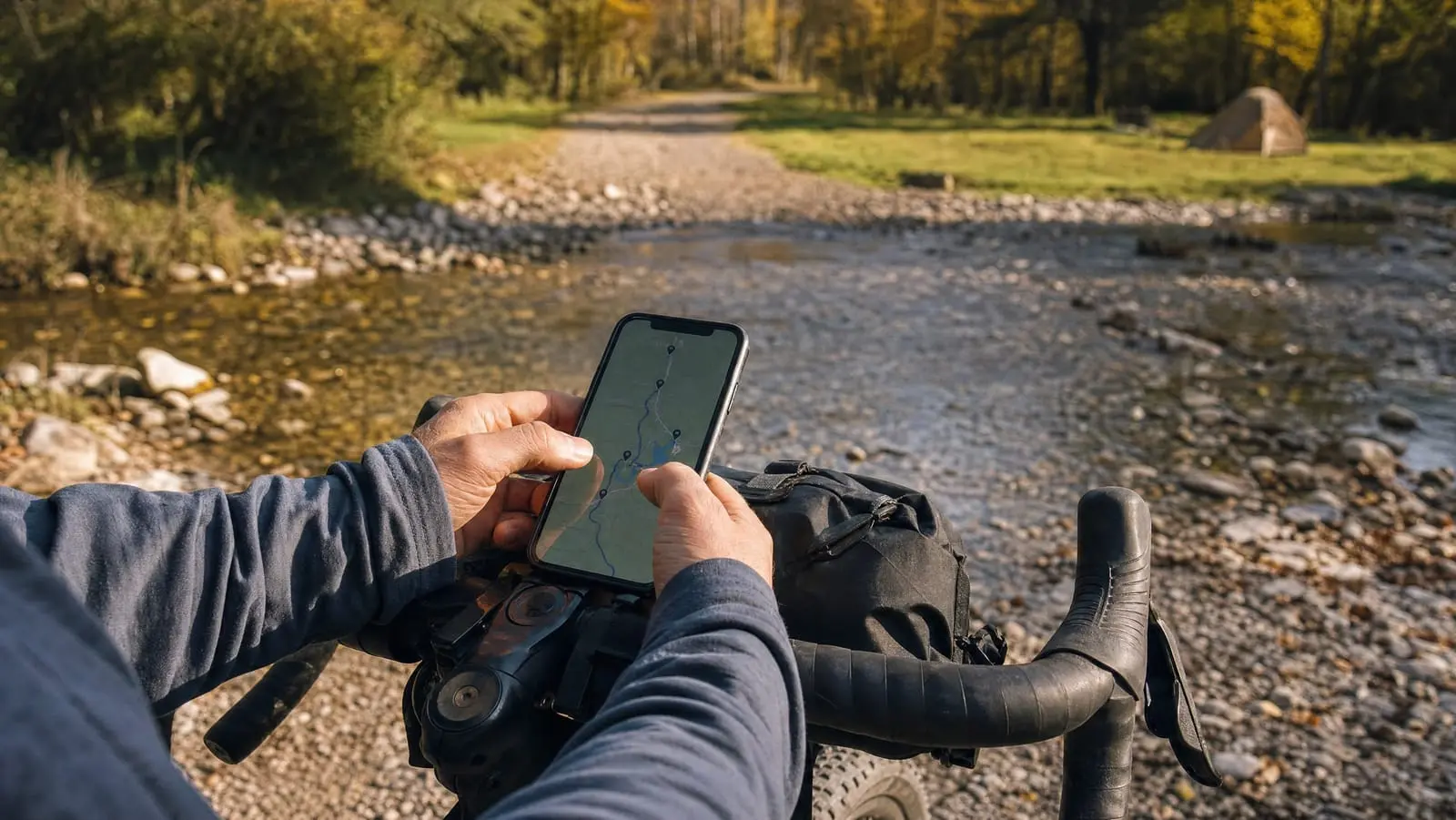
The common case, and the recoverable one. It includes the situation riders fear unnecessarily: a device with no cell signal is still a working device if the downloads were done properly, which is what our guide to offline maps for bikepacking is about.
Stop and Mark Before You Experiment
Drop a waypoint where you are standing, before you try anything. It is not for navigation; it is bookkeeping. A marked point converts a reversible situation into a bounded one — everything you try from here is a loop out and back instead of a one-way drift, and it is what makes "we tried that and it was wrong" a useful sentence rather than a worthless one.
Do Not Let the Device Decide the Reroute
Know what your unit does on its own, because it will do it while you are still getting a glove off. According to the Edge 1050 owner's manual, when you go off course you can select Pause Navigation "to pause navigation until you get back on course" or Re-route "to choose from rerouting suggestions" — and, in Garmin's words, "the first rerouting option is the shortest route back to the course and starts automatically after 10 seconds." The Edge 840 manual uses the same wording.
Read what that default optimises for: the shortest distance back to the magenta line. Near town on pavement, fine. On a gravel loop it is the wrong quantity, because the shortest way back can be a re-climb of the pass you just descended, a track that is on the basemap and not on the ground, or the far side of a drainage with no crossing. Camp is the goal, not the line.
That is those two manuals, not bike computers as a class. Yours may differ, so find out at home, with a course loaded and a deliberate wrong turn — the evening you learn to load a GPX onto a Garmin, Wahoo or Coros is the evening to walk its off-course menu.
Find the Last Junction You Positively Identified
Not the last turn you remember — the last junction you actually matched to the map. Those differ more than riders expect, because following a route is a passive activity. You were watching an arrow and a distance-to-next-turn field, not building a mental map, so what you remember is the screen rather than the world. Go back to something provable: a signed junction, a bridge, a cattle guard at a fork, a town.
Backtrack by Default, and the One Exception
Backtracking is correct and genuinely unpleasant, and pretending otherwise is why riders do not do it. You ride the same ground twice, you may re-climb what you descended, and the miles count toward nothing. Do it anyway, because it is the only option with a known price — cutting across toward the route has an unknown one, and the tail of that distribution is a night out. The National Park Service's Outdoor Emergency Plan puts "retrace your steps — if it is safe to do so" in the self-rescue step. And it only feels like losing ground: you lost the ground already, and backtracking is what converts an unknown loss into a known one.
The exception: when the route ahead is reachable on a road you can see and verify. If you can name the road, trace the connection on the map and watch it go where the map says, riding forward is fine and often better. The test is whether you can say the road's number out loud, because "this probably links up" is hope, and hope does not know where the bridge is out.
Re-plan the Day, Not the Mile
Recovery spends time, and time was the constraint, so this is a different day now. If the detour and the backtrack cost ninety minutes, take ninety minutes off the plan — not out of lunch, and not out of your daylight margin. The mistake after the mistake is trying to make the time back, which is how a wrong turn becomes an arrival at an unfamiliar camp in the dark. Ride to the bail-out camp you already marked.
Case B: The Dead-Device Protocol
The screen is black, the phone is in a creek, or the unit locked up and will not restart. Riders imagine this as a disaster; it is mostly a logistics problem, as long as you work the inventory instead of the panic.
What You Still Have When the GPS Died
Work down the list in order. Each item is worth more than the one below it.
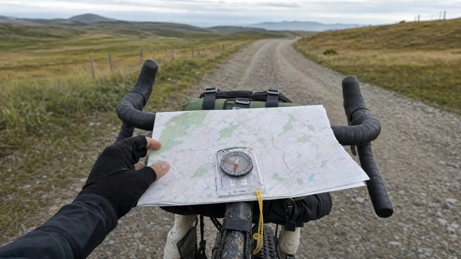
- The paper backup and the cue sheet. If you carry them this is not an emergency, it is a slower afternoon — and the whole argument for a paper map and compass backup is that it has no battery, so it fails independently of the device.
- Your own recent memory, spent immediately. Say the last three junctions and your general direction of travel out loud in the first two minutes. In our experience, memory of passively-followed navigation decays fast, and faster under stress.
- The road network itself — for a bikepacker, the big one. See below.
- Road furniture. Numbered forest road signs, mileposts, gate numbers, a highway shield glimpsed at a crossing. On a forest or county paper map, one road number puts you back on a known line.
- Other people. Ask better questions than "where am I": which way is the nearest town, and does this road connect to the one you can name. People tend to be reliable on direction and road names and unreliable on distance.
You Are on a Road Network, Not in the Wilderness
Here is what separates a lost bikepacker from a lost hiker: you are on a road, and a road goes somewhere. You did not bushwhack in, and your bike cannot meaningfully leave the network. Whatever you are on was built to connect two places, and followed consistently in one direction it reaches one of them.
So the failure mode is rarely being lost in the trees. It is burning daylight oscillating — half a mile one way, doubt it, come back, try the other. Pick a direction with a stated reason, commit for a defined distance, four miles or thirty minutes, and note the time you started. Descending and larger are both reasons; so is "it heads toward the highway that bounds the day".
Downhill and downstream deserves a caveat. The Forest Service's lost-hiker page offers, as a very last resort, to "follow a drainage or stream downhill", noting it is "often a difficult path but could lead to a trail or road" and adding that it "could be very dangerous" — written for people on foot, and on a loaded bike following an actual drainage is usually impossible. The rideable version is weaker: settlement tends to sit low and on water, so a descending road is a better bet than a climbing one, in most terrain. It is wrong in plateau country, and wherever the valley is wilderness and the ridge carries the highway. Use it as a tiebreaker between two roads, not as a rule that decides for you.
The Desk Work That Makes Both Cases Easy: Bail-Out Planning
All of the above is easier or harder depending on twenty minutes at the kitchen table — twenty minutes most riders skip, because nothing about them feels urgent there.
Mark the Bail-Outs Like Any Other Waypoint
For each riding day, answer three questions in the route file: which junctions lead to a town, how far it is, and in which direction. Not a vague sense that there is a road somewhere south — a point, a mileage, a bearing.
Bail-outs are a waypoint class, like water and camp, so they belong in the same pass over the route. If you have a workflow for mapping water and camp waypoints, add bail-outs to it and name them so the name carries the information: BAILOUT 12MI E TO MEEKER tells you everything at a glance, including on a screen you are squinting at in the rain.
Handrails: The Navigation You Can Do With No Device at All
Orienteering Ireland defines handrails as "linear features we follow from one point to another", listing paths, walls, fences, streams and earth banks. On a loaded bike the idea scales up: a river, a rail trail, a canal towpath, a powerline cut, a numbered highway, a ridge road running roughly parallel to your route.
What makes one valuable is that you do not need precision to find it and you do not need a map to follow it. Ride any direction far enough and you hit the river, and the river tells you which way is which. So note the roads bounding each day: knowing a paved highway runs along the south of everything you ride today means south, far enough, is signs and traffic. The tradeoff is that a handrail is longer, uglier and windier than your route — it is an exit, not a plan B you were hoping to ride.
When Being Lost Becomes an Emergency
Being off route is not an emergency. It becomes one in combination with something else — darkness, cold or wet, injury, no water, no shelter, no way to tell anyone, or being alone with any of that.
So the useful question is not "am I lost". It is "if this takes three more hours, what condition will I be in?" Wet with the temperature dropping is a different answer from warm with two litres of water and a bivvy. If the honest answer is worse than your current position, the cheaper move is to stop while you still have daylight and dry layers.
Official guidance points the same way. The Forest Service is blunt about the decision point: "If it's nightfall, you are injured or you are near exhaustion, stay in place." The National Park Service's Outdoor Emergency Plan sequences it as self-rescue, then seeking help, then awaiting rescue — noting that once help is coming, "changing location will make it difficult for authorities to find you."
We will not tell you when to press the button; that depends on facts we do not have. But communicating early is almost always cheaper than communicating late. A message reading "off route, two hours behind, camping at the reservoir" costs nothing and prevents an escalation nobody needed. Which is why the decision belongs in the planning: our guide to emergency communication with no cell signal covers what works out there, our comparison of satellite messengers for bikepacking covers the hardware, and the wider framework sits in our complete bikepacking safety guide. Anything past the decision to stop — warmth, water, signalling — is outside what this article should teach.
The Whole Thing Is One Habit
Notice how little of that procedure is skill. Mark a point, identify a junction, ride back the way you came, adjust the day. What is hard is the first line, and for reasons that have nothing to do with navigation: stopping at the first doubt feels like giving up a little, and riding on feels like competence. It is the opposite. A rider who stops three times in a week and is wrong twice has spent nine minutes. A rider who never stops pays once, and pays properly.
This is the tenth and last article in our navigation tower, so the workflow is complete: choosing the app, drawing the line, verifying surfaces, mapping water and camp, budgeting the day, loading the file, carrying paper — and knowing what to do when all of it disagrees with the ground in front of you. For the sequence in order, start at our complete guide to route planning and navigation for bikepacking.